British Isles: Terminology, Travelling Maps and Photos
Terminology
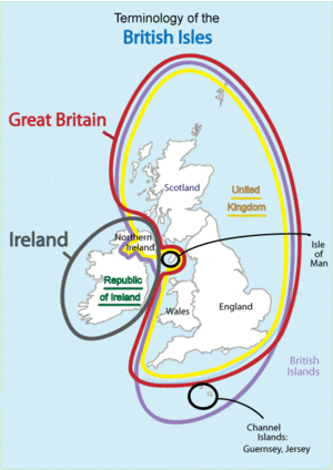
Terminology of the British Isles
From Wikipedia, the free encyclopedia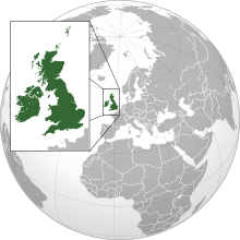


The terminology of the British Isles refers to the various words and phrases that are used to describe the different (and sometimes overlapping) geographical and political areas of the islands of Great Britain, Ireland, and the smaller islands which surround them. The terminology is often a source of confusion, partly owing to the similarity between some of the actual words used, but also because they are often used loosely. In addition, many of the words carry both geographical and political connotations which are affected by the history of the islands.
The purpose of this article is to explain the meanings of and relationships among the terms in use; however many of these classifications are contentious and are the subject of disagreement .


Comentarios
Publicar un comentario